Log in
All resources
Create a design
107 Free Images of 1592 Maps
cartography
fondo antiguo
cartografía
atlas
libros del siglo xvi
cartografía, mapas | cartography, maps
geografía. descripciones. viajes
mapas, planos, etc.
books of 16th century
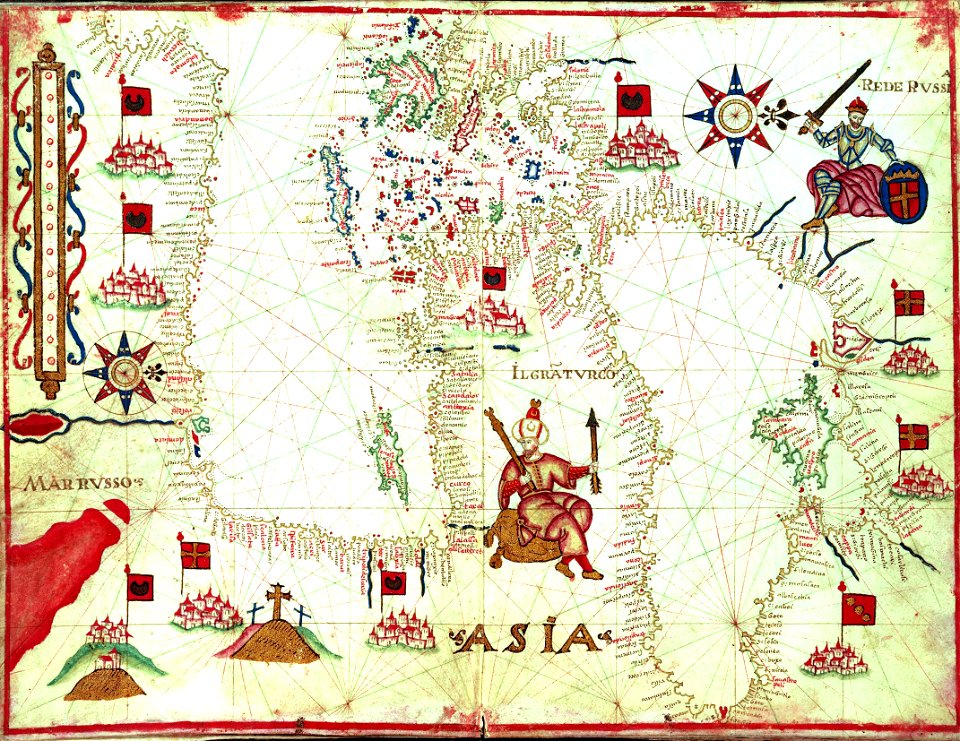
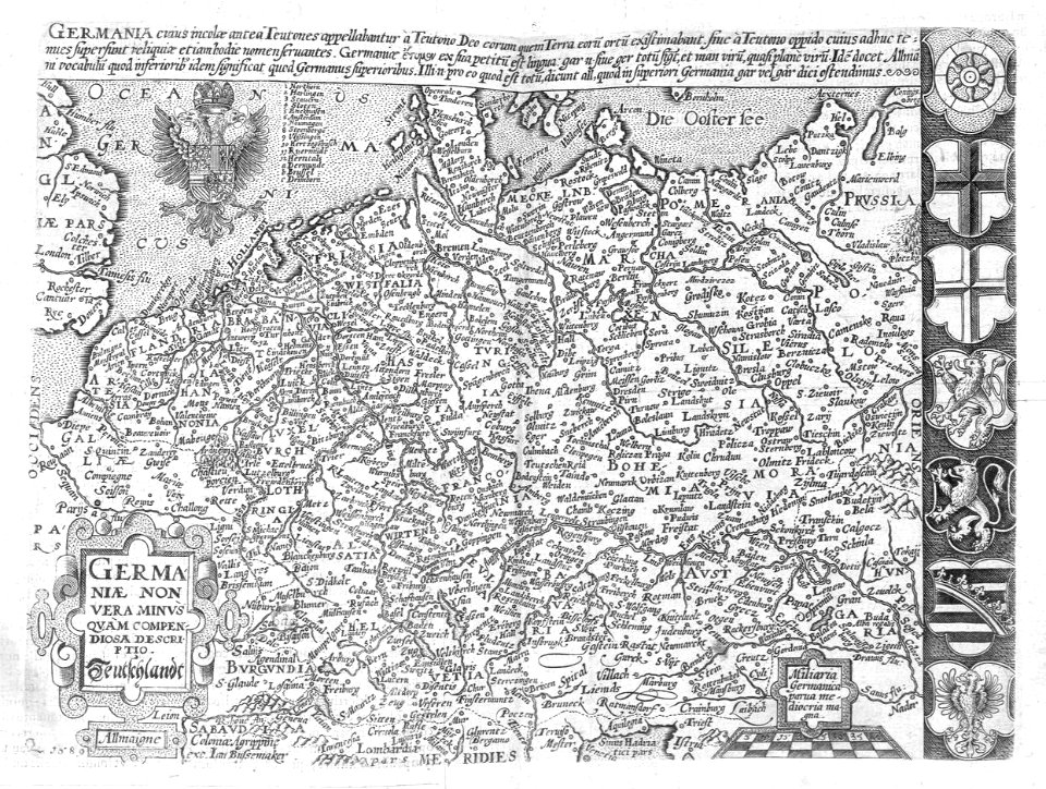
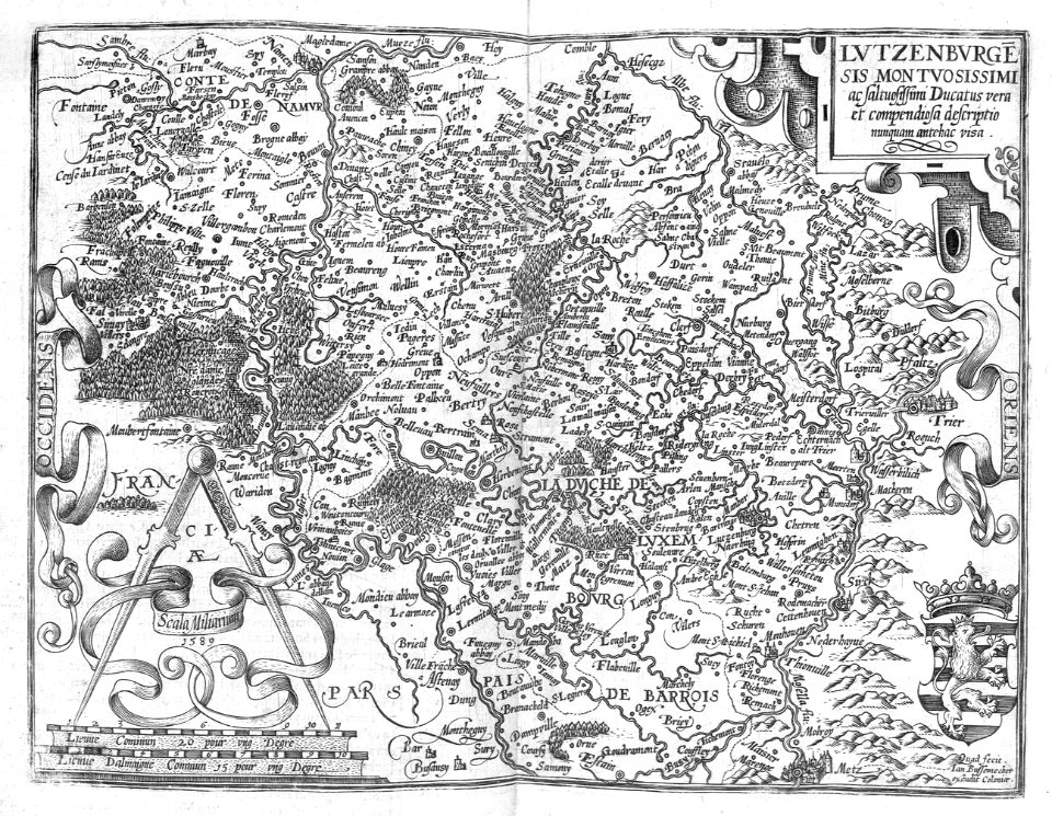
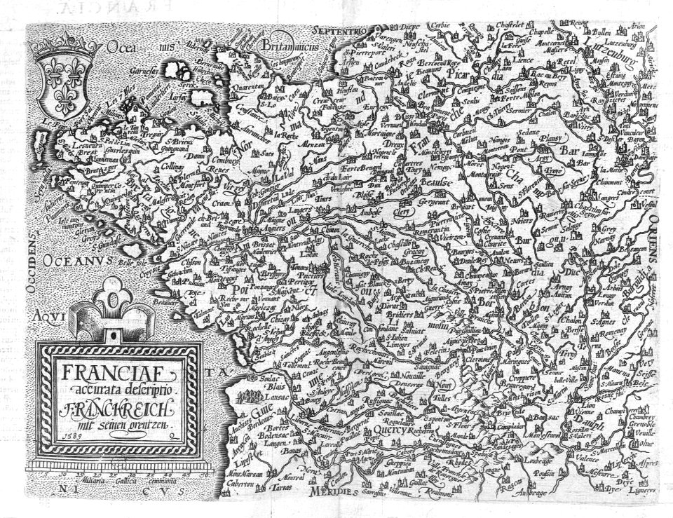
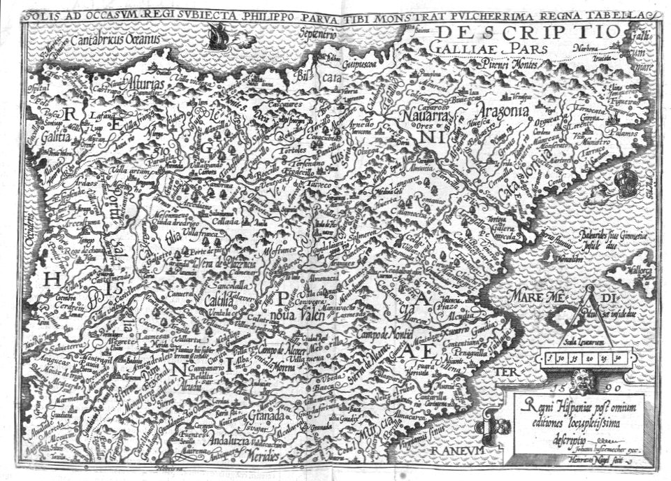
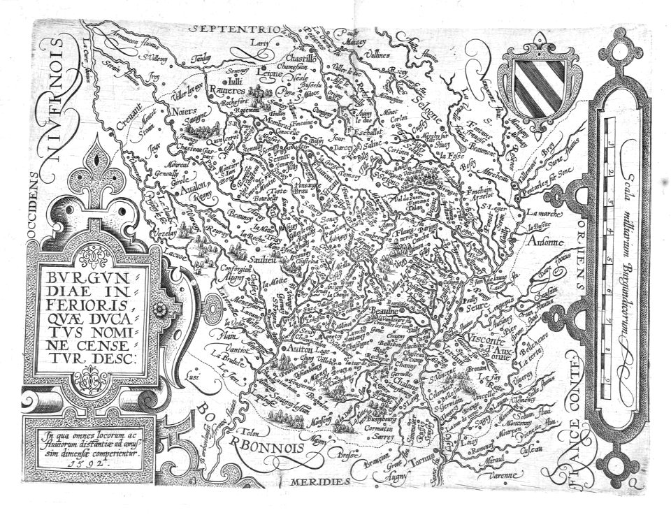
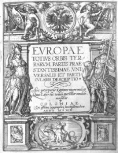
europae totius orbis terrarum, 1592
charts and maps of the royal museums greenwich
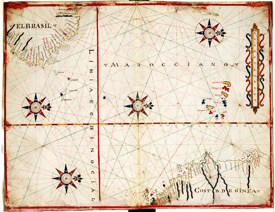
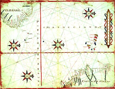
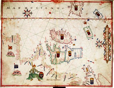
maps by oliva family
charts and maps of the royal museums greenwich
maps by oliva family
charts and maps of the royal museums greenwich
maps by oliva family
charts and maps of the royal museums greenwich
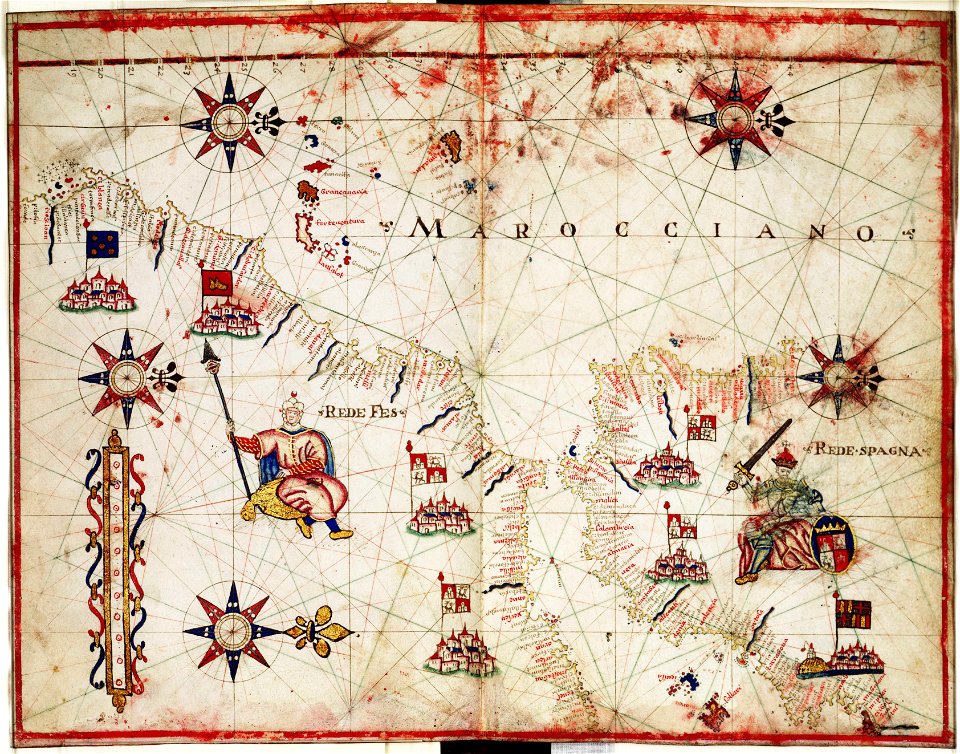
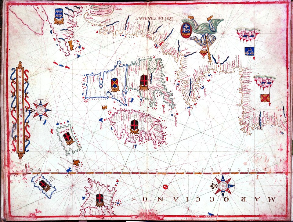
maps by oliva family
charts and maps of the royal museums greenwich
1590s maps of the world
charts and maps of the royal museums greenwich
maps by oliva family
charts and maps of the royal museums greenwich
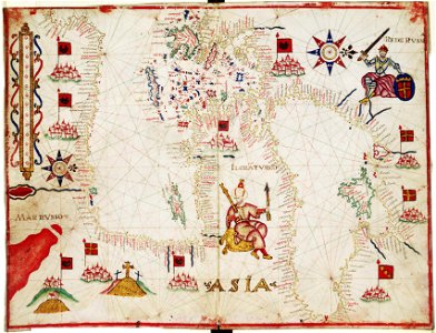
maps by oliva family
charts and maps of the royal museums greenwich
1590s maps of the world
charts and maps of the royal museums greenwich
maps by oliva family
charts and maps of the royal museums greenwich
maps by oliva family
16th-century maps of the mediterranean sea
16th-century maps of the black sea
self-published work
pages with maps
16th-century maps of the mediterranean sea
16th-century maps of the black sea
globe
maps
self-published work
pages with maps
joannes van doetecum (i)
petrus plancius
siege of steenwijk 1592
maps of steenwijk
siege of steenwijk 1592
maps of steenwijk
maps by willem and johannes blaeu
old maps of coevorden
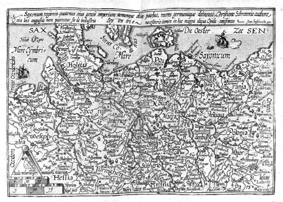
maps by christian sgrothen
manuscript maps
siege of coevorden 1592
old maps of coevorden
maps of catania by braun & hogenberg
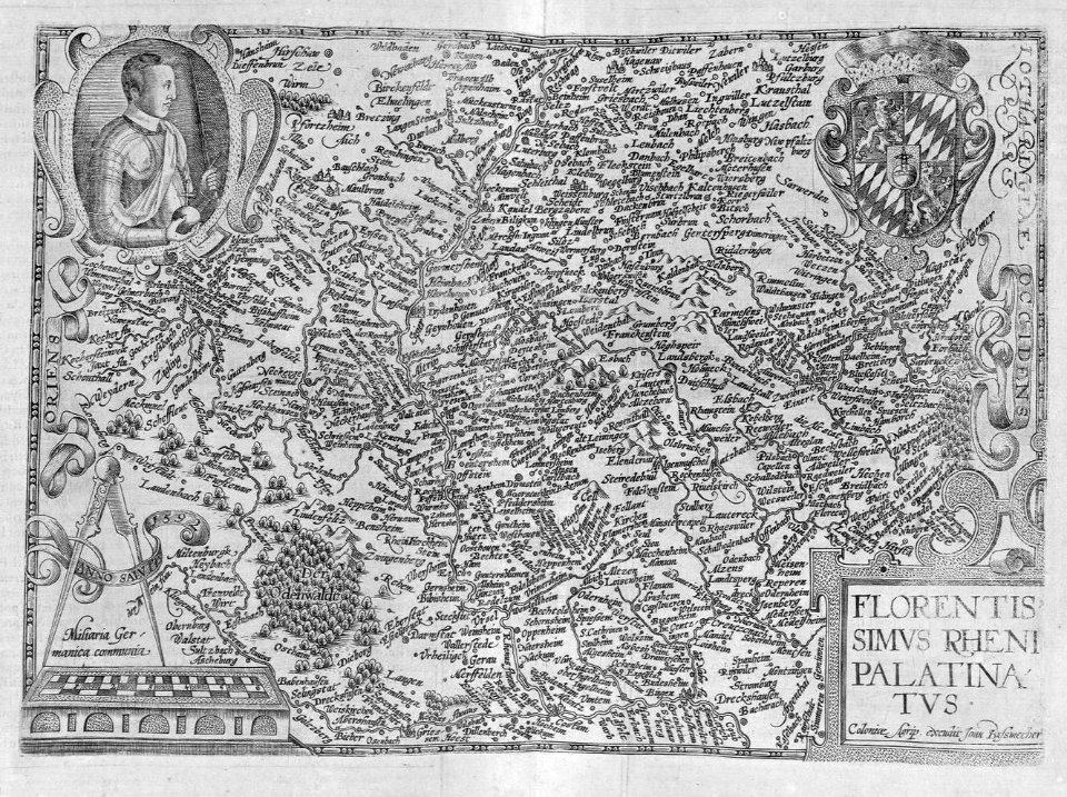
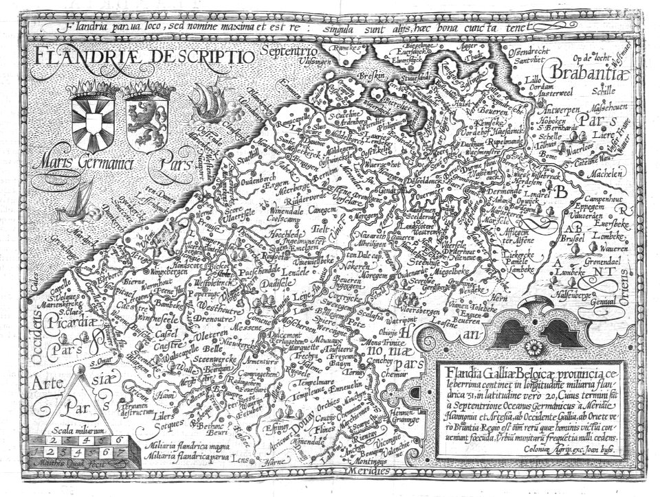
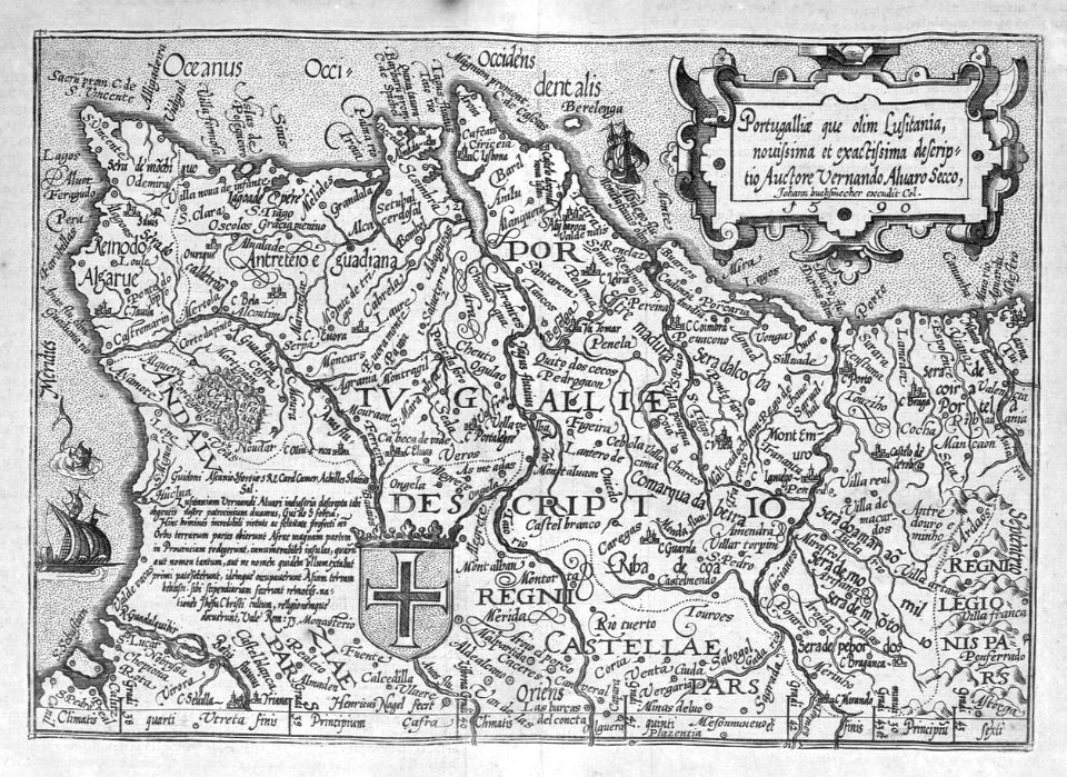
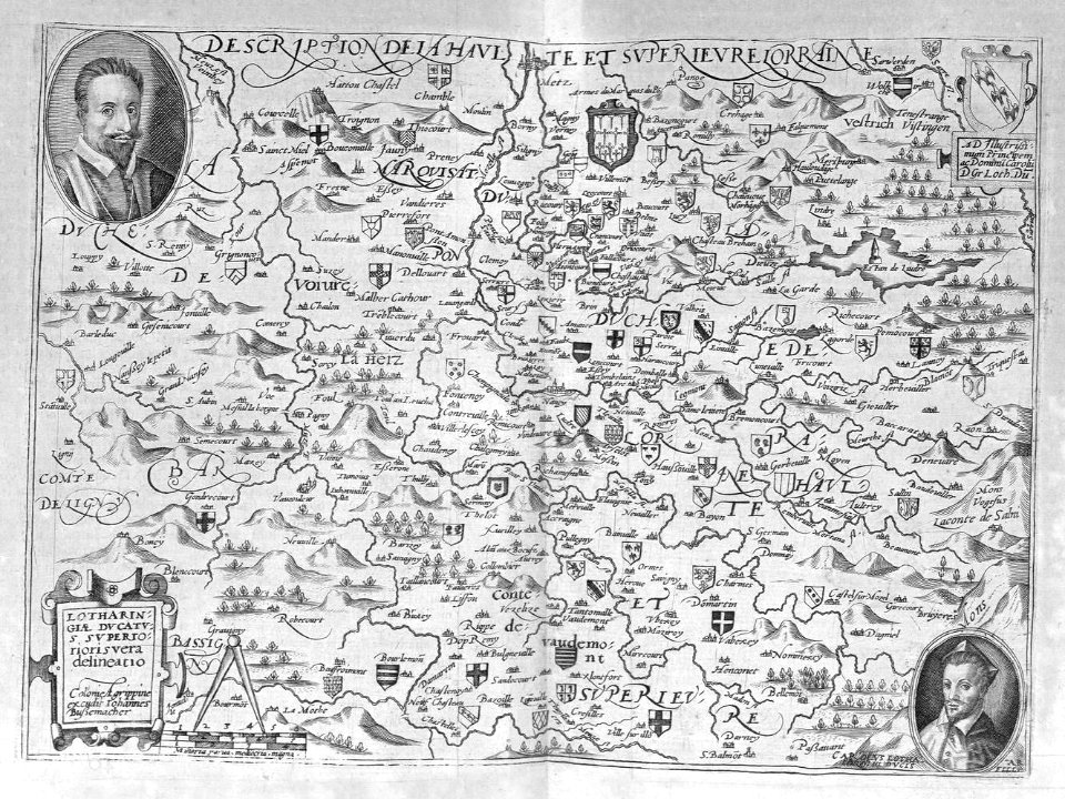
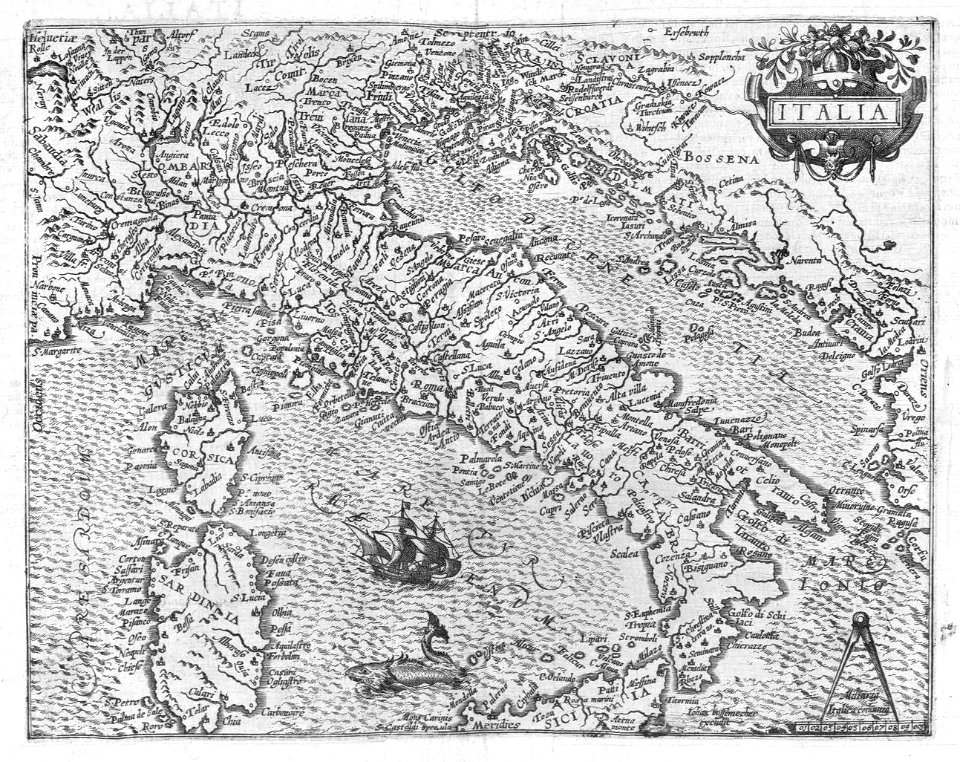
1592 maps of italy
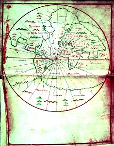
hemispheres centered south pole
manuscript maps
maps by edward wright
molyneux globes
jonathan sauter
max bach
cartography
maps
cartography
maps
cartography
maps
cartography
maps
cartography
maps
cartography
maps
cartography
maps
cartography
maps
cartography
maps
cartography
maps
cartography
maps
cartography
maps
cartography
maps
cartography
maps
cartography
maps
cartography
maps
cartography
maps
cartography
maps
cartography
maps
cartography
maps
cartography
maps
cartography
maps
cartography
maps
cartography
maps
cartography
maps
cartography
maps
cartography
maps
cartography
maps
cartography
maps
cartography
maps
cartography
maps
cartography
maps
cartography
maps
cartography
maps
cartography
maps
cartography
maps
cartography
maps
cartography
maps
cartography
maps
cartography
maps
cartography
maps
cartography
maps
cartography
maps
cartography
maps
cartography
maps
cartography
maps
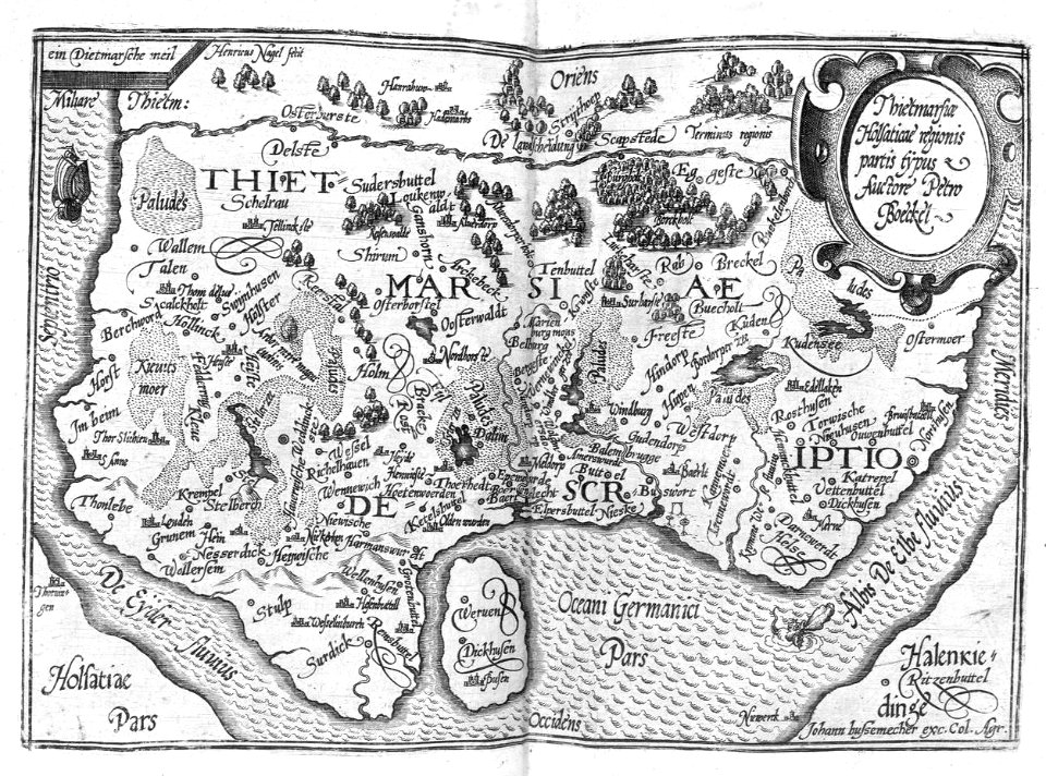
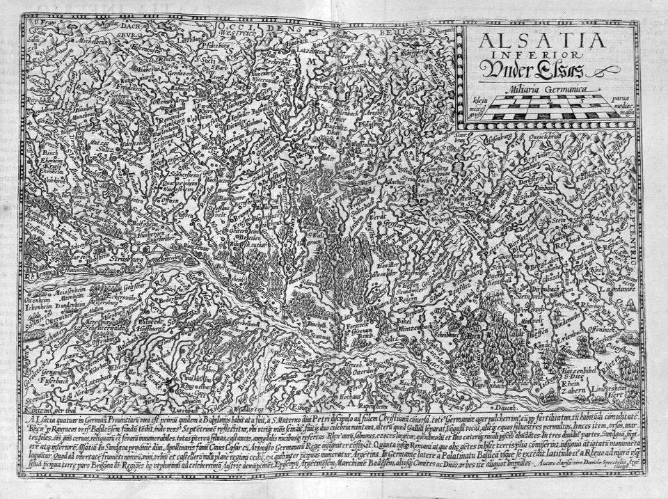
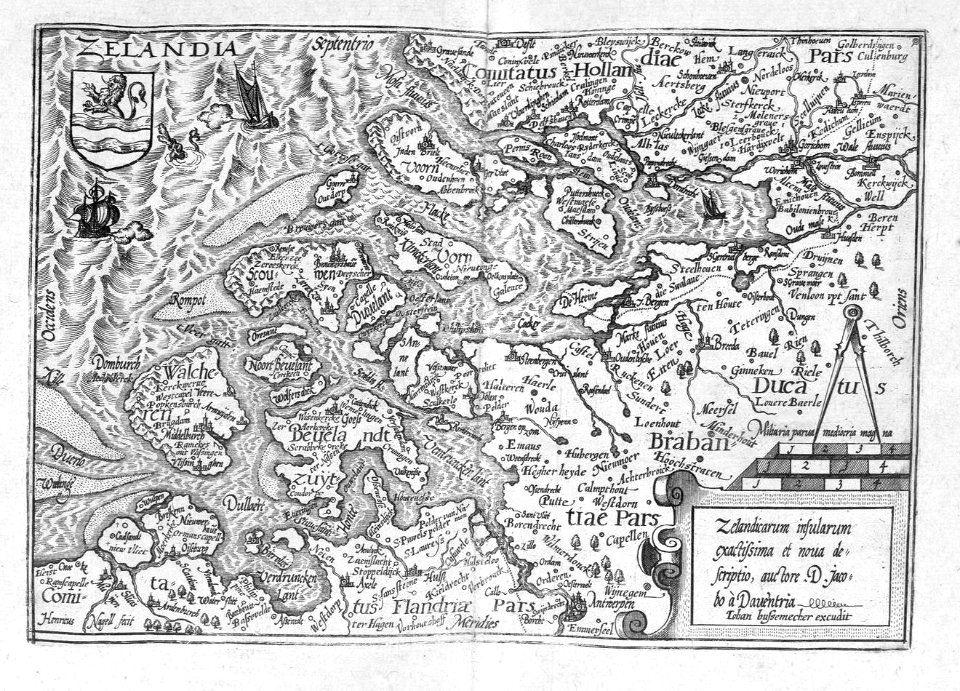
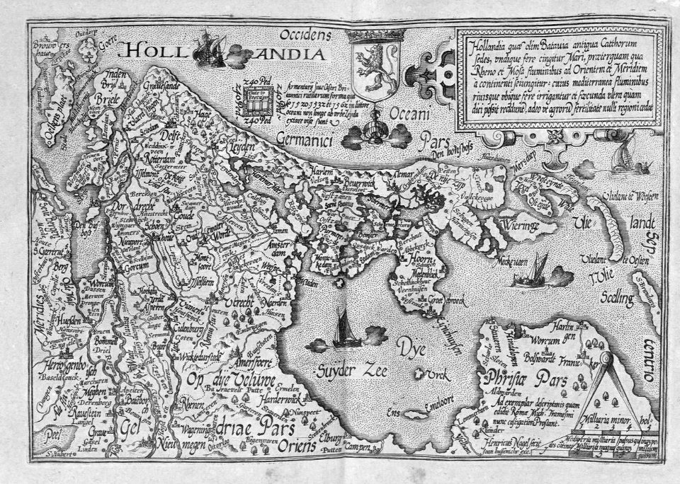
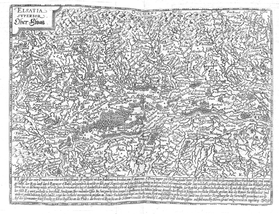
liber qvartvs contrafactur vnd beschreibung von den vornembsten stten der welt (zzk 0.32)
patrimonium 2 (project)
liber qvartvs contrafactur vnd beschreibung von den vornembsten stten der welt (zzk 0.32)
patrimonium 2 (project)
cartography
maps
cartography
maps
cartography
maps
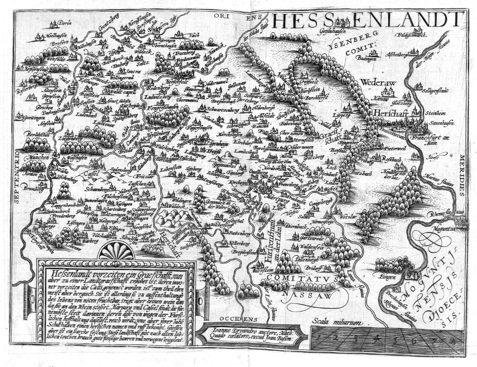
liber qvartvs contrafactur vnd beschreibung von den vornembsten stten der welt (zzk 0.32)
patrimonium 2 (project)
liber qvartvs contrafactur vnd beschreibung von den vornembsten stten der welt (zzk 0.32)
patrimonium 2 (project)
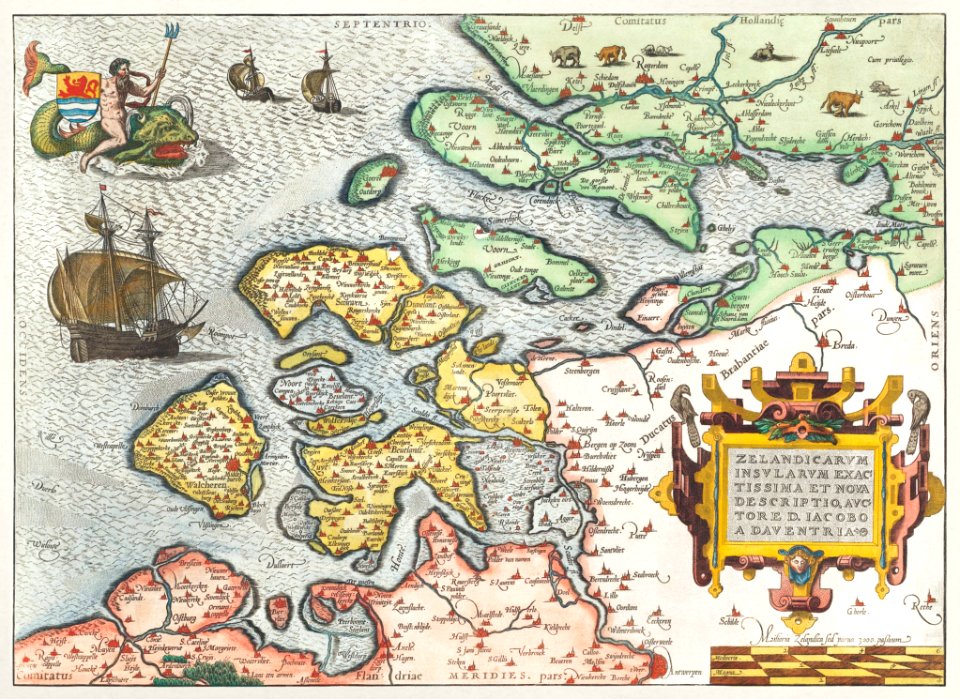
prints of cartouches in the rijksmuseum amsterdam
maps in the rijksmuseum amsterdam
liber qvartvs contrafactur vnd beschreibung von den vornembsten stten der welt (zzk 0.32)
patrimonium 2 (project)
elizabeth i of england (the ditchley portrait)
henry holiday
kaart van parijs en omgeving, 1590 by frans hogenberg
maps in the rijksmuseum amsterdam
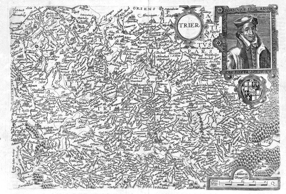
liber qvartvs contrafactur vnd beschreibung von den vornembsten stten der welt (zzk 0.32)
patrimonium 2 (project)
liber qvartvs contrafactur vnd beschreibung von den vornembsten stten der welt (zzk 0.32)
patrimonium 2 (project)
liber qvartvs contrafactur vnd beschreibung von den vornembsten stten der welt (zzk 0.32)
patrimonium 2 (project)
liber qvartvs contrafactur vnd beschreibung von den vornembsten stten der welt (zzk 0.32)
patrimonium 2 (project)
liber qvartvs contrafactur vnd beschreibung von den vornembsten stten der welt (zzk 0.32)
patrimonium 2 (project)
liber qvartvs contrafactur vnd beschreibung von den vornembsten stten der welt (zzk 0.32)
patrimonium 2 (project)
liber qvartvs contrafactur vnd beschreibung von den vornembsten stten der welt (zzk 0.32)
patrimonium 2 (project)
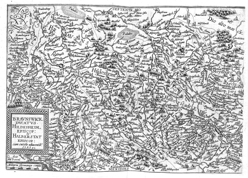
liber qvartvs contrafactur vnd beschreibung von den vornembsten stten der welt (zzk 0.32)
patrimonium 2 (project)
liber qvartvs contrafactur vnd beschreibung von den vornembsten stten der welt (zzk 0.32)
patrimonium 2 (project)
liber qvartvs contrafactur vnd beschreibung von den vornembsten stten der welt (zzk 0.32)
patrimonium 2 (project)
liber qvartvs contrafactur vnd beschreibung von den vornembsten stten der welt (zzk 0.32)
patrimonium 2 (project)
liber qvartvs contrafactur vnd beschreibung von den vornembsten stten der welt (zzk 0.32)
patrimonium 2 (project)
liber qvartvs contrafactur vnd beschreibung von den vornembsten stten der welt (zzk 0.32)
patrimonium 2 (project)
travel
maps
prints by frans hogenberg in the rijksmuseum amsterdam
maps in the rijksmuseum amsterdam
prints by frans hogenberg in the rijksmuseum amsterdam
maps in the rijksmuseum amsterdam
liber qvartvs contrafactur vnd beschreibung von den vornembsten stten der welt (zzk 0.32)
patrimonium 2 (project)
liber qvartvs contrafactur vnd beschreibung von den vornembsten stten der welt (zzk 0.32)
patrimonium 2 (project)
1 - 100 of 107
Next page
/ 2